
價格:免費
更新日期:2016-05-25
檔案大小:197.6 MB
目前版本:1.1.7
版本需求:需要 iOS 8.0 或以上版本。與 iPhone、iPad 及 iPod touch 相容。
支援語言:英語
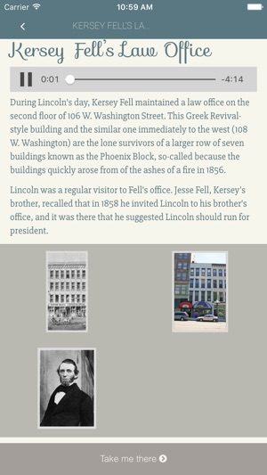
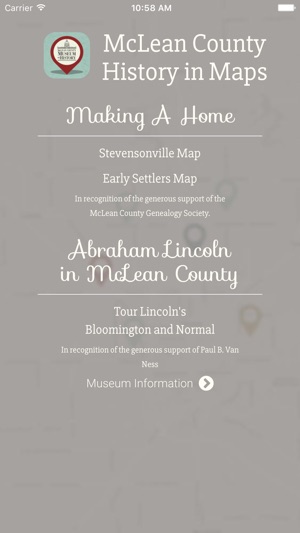
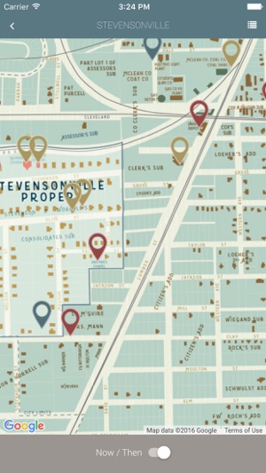
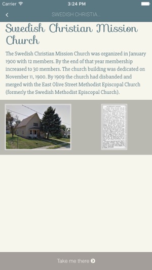
Discover local McLean County, Illinois history from your phone! Learn where 24 of the earliest settlers lived throughout the county and some of the hardships they endured. Take a narrated tour of 17 sites within Bloomington-Normal related to Abraham Lincoln. Or, visit former sites of churches, grocery stores, factories, and mines, in and around Stevensonville—a historic neighborhood on the west side of Bloomington. These maps are in conjunction with the Museum’s new permanent exhibits. Additional maps and information will be added to this app as the Museum opens exhibit galleries, so keep an eye out for updates! This app was made possible by donors to the McLean County Museum of History’s Extending Excellence Capital Campaign who would like to recognize the generous support of the McLean County Genealogical Society and Paul B. Van Ness.
支援平台:iPhone, iPad